
1. Property assessment
Review location, intended use, access, existing wells and available records.
Methodology
A transparent six-step view of the survey, the data and the limits of what can be known before drilling.
Review location, intended use, access, existing wells and available records.
Select sounding lines around property constraints, utilities, native soil and drilling access.
Measure controlled signals at the surface, typically at 100-foot intervals.
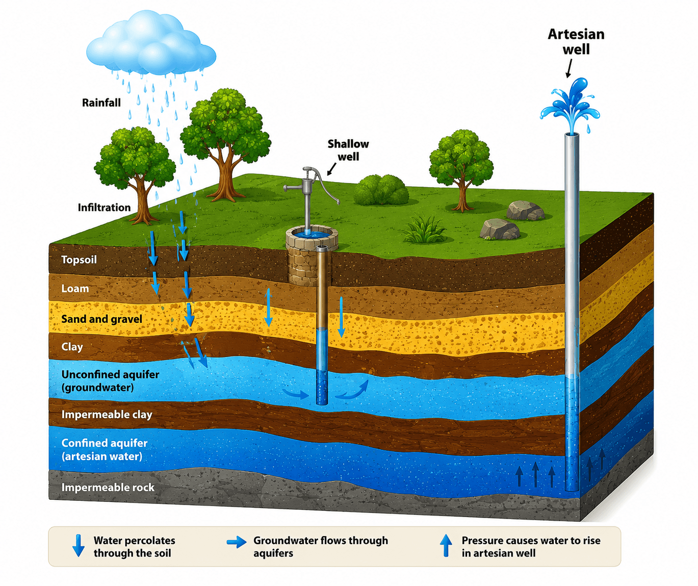
Process signals to identify possible water-bearing formations, depth and thickness.
Deliver prioritized targets, estimated depth and potential yield.
When drilling follows, record predicted versus actual depth and pump-test yield.
These limits define the uncertainty the survey is designed to reduce.
From the original field library
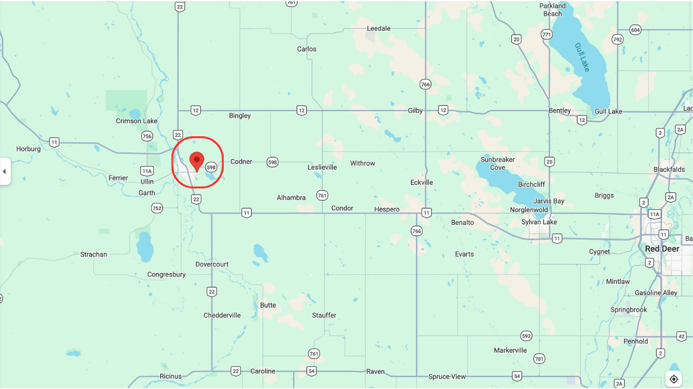
Your property is the starting point
We’ll review survey suitability, scheduling and estimated travel cost.
Automated front desk · available anytime